

This page has been automatically translated. Please refer to the page in French if needed.
Bad weather
Météo-France offers new and more accurate vigilance maps within the departments
Publié le 07 septembre 2026 - Public Service / (Prime Minister)
Since 1er September 2026, Météo-France proposes a more efficient weather monitoring system. New maps make it possible to identify precisely the areas exposed to the phenomena of strong winds, floods, thunderstorms and snow-ice within the same department.
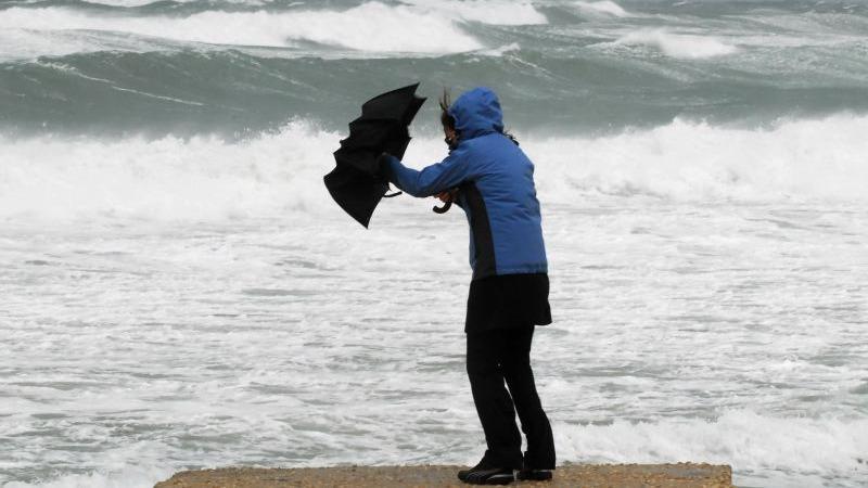
Until now, only one level of vigilance has been assigned to an entire department. Weather-France now distinguishes the sectors where the risks are greatest. For example, during a storm, coastal municipalities may be placed at a higher level of vigilance than the rest of the department if they are exposed to strong winds.
This new feature allows:
- better identify risk areas;
- adopt the right preventive behaviors;
- to target the actions of emergency authorities and services.
If red, orange or yellow alertness is occurring, an insert of the same color above the weather map allows you to view the maps by phenomenon. You can also choose your department from the drop-down list to the right of the map or click directly on the map. A brief summary of the situation is displayed (example: department of Drôme).
Departmental vigilance remains the same. The main board displays the highest hazard level for the entire department. The more detailed information is available on the maps dedicated to each weather phenomenon.
You can generate a PDF document from the Vigilance.
FYI
This development concerns France and Corsica. It shall only be implemented when the forecasts allow the identification of risk areas with a sufficient level of certainty. Overseas, the zoning arrangements specific to each territory remain unchanged.
How to read maps by phenomenon?
Detailed maps are not displayed by default on the national vigilance map. To identify the sectors concerned by a particular meteorological phenomenon, it is necessary to select one of the thematic maps proposed by Météo-France.
Each map corresponds to a specific phenomenon:
- Wind : risks associated with high winds and storms
- Rain-flood : heavy rainfall that may lead to runoff or flooding;
- Thunderstorms : thunderstorms that may be accompanied by heavy rain, hail or gusts of wind;
- Snow and ice : snow events or ice formation that can disrupt travel.
Once the phenomenon is selected, the exposed areas appear directly on the map. The sectors most concerned may then have a different level of vigilance from the rest of the department.
What are the levels of vigilance?
As for departmental weather vigilance, detailed maps use four levels of vigilance:
- Green : no particular vigilance;
- Yellow : a phenomenon that is common in the region but requires special attention due to sensitive or localized activities;
- Orange : expected hazardous phenomenon; it is recommended to follow the safety instructions issued by the authorities;
- Red : exceptional and very dangerous weather phenomenon; absolute vigilance is necessary.
These levels allow a rapid assessment of the risk intensity in each sector concerned and the adaptation of its behavior accordingly.
Example :
A department may remain on yellow alert on the national map, while part of its territory appears on orange alert on the « Wind » map due to a localized risk of violent gusts.
This additional information allows residents of the most exposed areas to be better informed about the situation.
Please note
Météo-France plans to extend this system to heatwave and extreme cold phenomena from summer 2027, taking into account the specificities of mountain and coastal departments.
The vigilance cards are updated at least twice a day, at 6 a.m. and 4 p.m. They may be updated more frequently when the weather situation so requires.
Additional topics
Agenda
Jusqu'au 31 déc. 2026
Déplacements professionnels
Publié le 24 octobre 2026
À partir du 1 nov. 2026
Sécurité routière
Publié le 20 octobre 2026
Jusqu'au 23 oct. 2026
Vie scolaire
Publié le 09 octobre 2026
À partir du 1 nov. 2026
Arrêt de travail
Publié le 08 octobre 2026